Field notes: the corridor that outbuilt its own permit office
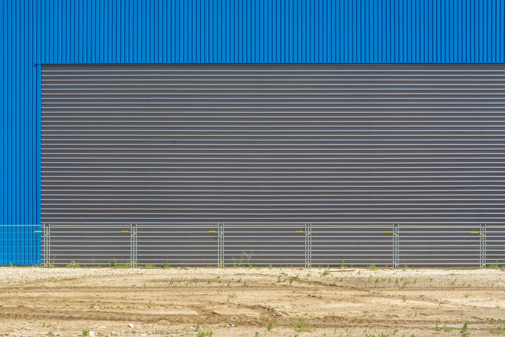
We'd been tracking a secondary submarket outside a mid-sized Midwest metro for about eighteen months, mostly out of habit. Nothing dramatic about it: a two-lane state highway, a rail spur that still gets occasional use, cheap land zoned industrial going back to the 1990s when a few plastics plants moved in and then mostly moved out. The kind of corridor that shows up in a regional supply report as a single line item, if it shows up at all.
Then we pulled the quarterly imagery pass and the line item needed six more rows.
Four new large-format sheds had gone vertical in the space of two quarters. One was a straightforward 650,000 square foot cross-dock with the trailer court already striped. Two others were spec boxes in that familiar 36-foot clear-height, shallow-bay format that gets leased to whoever needs space fast and doesn't care about the market name on the sign. The fourth was an expansion of an existing building's yard, roughly forty new trailer stalls and a second guard shack, the kind of addition that never gets its own press release because it isn't a new building.
None of the four had a corresponding permit record we could find in the county system at the time we looked. Two showed up later, filed after the slab was already poured, which happens more often than most analysts outside the trade would guess. A rural county office with one plan reviewer and a part-time clerk does not process a 600,000 square foot filing on the same clock as a metro planning department, and when the developer's counsel knows that, the paperwork sometimes follows the construction schedule rather than leading it. The project gets its certificate of occupancy filed in a batch along with two other applications, weeks after the dock doors are already taking trucks.
This is ordinary administrative lag, not an attempt by anyone to get ahead of the record. Counties where the tax base doesn't support a planning staff sized for the volume they're suddenly getting run filings behind construction as a matter of course. The developer files when counsel schedules it. The county clears records when the one reviewer gets to them. The gap between ground being broken and a record existing somewhere you can search is a bandwidth problem, plain and simple, and it's the thing that makes a corridor like this invisible to a supply model until the imagery catches it.
What's interesting is why this particular stretch got picked at all. None of the four projects are adjacent to each other. They're spread across nine miles of frontage, each one apparently reacting to the same set of underlying conditions rather than following each other. Land basis still low relative to the metro core. A labor pool that commutes from two directions and hasn't been fully absorbed by the existing plants. A highway interchange upgrade finished three years ago that nobody treated as a leading indicator because it was framed in the local paper as a safety project, not a logistics one.
The lesson we keep relearning on corridors like this is that permit data measures administrative capacity as much as it measures construction activity. A county with one reviewer and a backlog simply runs a longer gap between built and recorded than a county with a full planning staff. A supply model that only resets when a filing clears carries a stale number for however long that backlog takes to clear. In a market absorbing space at pace, that lag is the whole ballgame for a leasing decision made this quarter rather than next.
We've started treating the imagery read as the forcing function rather than a cross-check. If you're trying to size a corridor like this one before it shows up anywhere else, Warehouse Footprints runs the same comparison on a quarterly cadence, matching what's physically there against what's on file, without waiting on a county clerk's queue to catch up.
Worth a look before the next permit batch finally clears.